We are including links to a few of the many documents that were part of the 2014 application to help the public prepare for a future public comment period, or to object to other applications.
Topographical maps with stream classifications in NYS
- Broome County [pages 1-5]
- Chenango County [pages 5-7]
- Masonville, Sidney, and Franklin, Delaware County [pages 8-11]
- Davenport and Harpersfield, Delaware County [pages 11-15]
- Jefferson, Summit, Richmondville, and Cobleskill, Schoharie County [pages 15-18]
- Middleburg and Schoharie, Schoharie County [pages 19-21]
- Contractor Yards, Otsego County [page 22]
2014 Maps of NYS regulated freshwater wetlands
(DEC has expanded its wetland jurisdiction, so these maps are out of date)
- Broome and Chenango Counties [pages 23-29]
- Masonville, Sidney, and Franklin, Delaware County [pages 29-33]
- Davenport and Harpersfield, Delaware County [pages 33-37]
- Jefferson, Summit, Richmondville, and Cobleskill, Schoharie County [pages 37-40]
- Middleburg and Schoharie, Schoharie County [pages 41-43]
- Contractor Yards, Otsego County [page 44]
If you prefer a copy of the full map, use this link to download:
Letter writing sessions and rallies in opposition


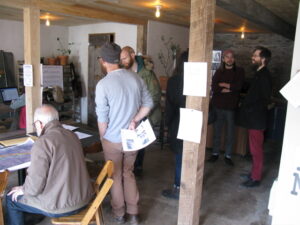


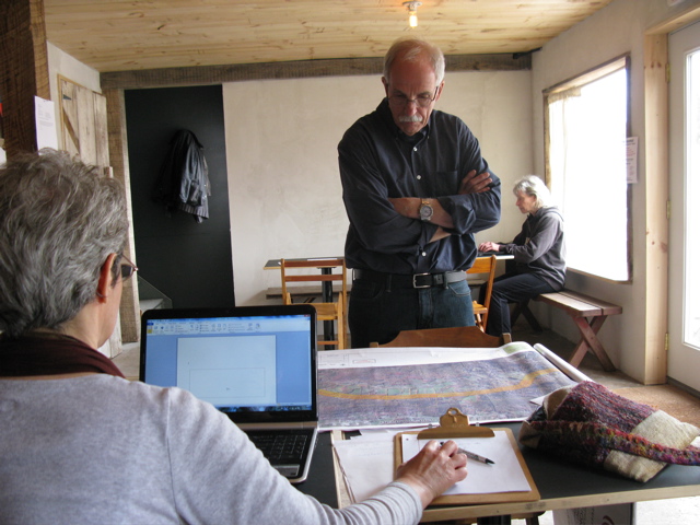
Letter writing 3-29-14
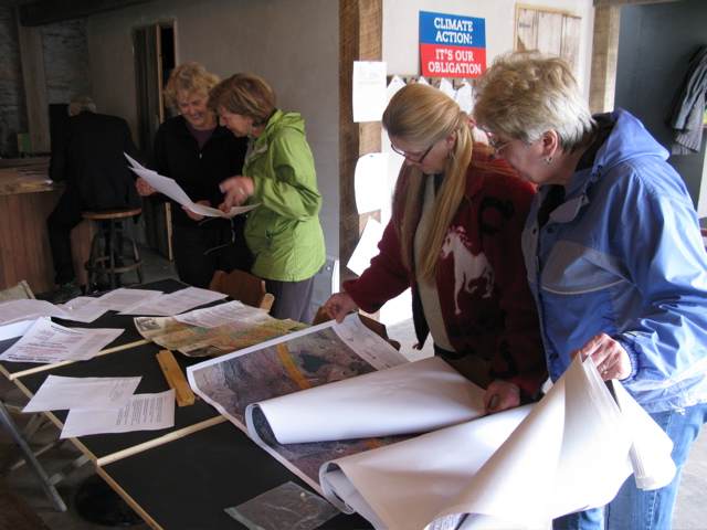
Letter writing 3-29-14
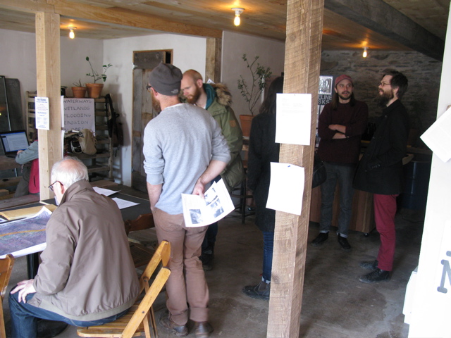
Letter writing 3-29-14
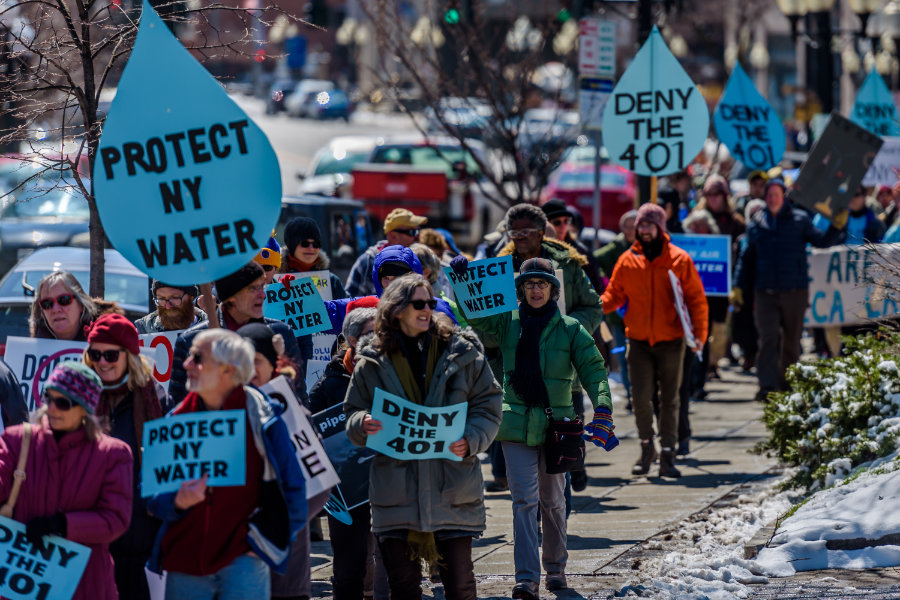
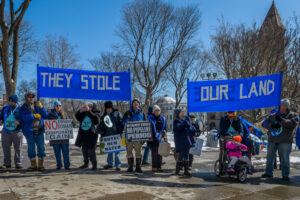
Groups rally to save NYS from FERC and to ask Governor Cuomo to protect NYS water by denying required water quality certificate for Constitution Pipeline
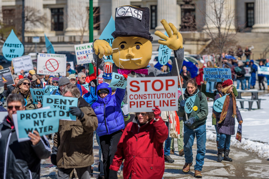
Groups rally to save NYS from FERC and to ask Governor Cuomo to protect NYS water by denying required water quality certificate for Constitution Pipeline
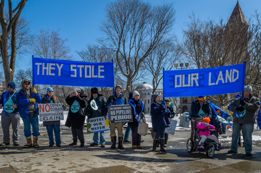
Groups rally to save NYS from FERC and to ask Governor Cuomo to protect NYS water by denying required water quality certificate for Constitution Pipeline